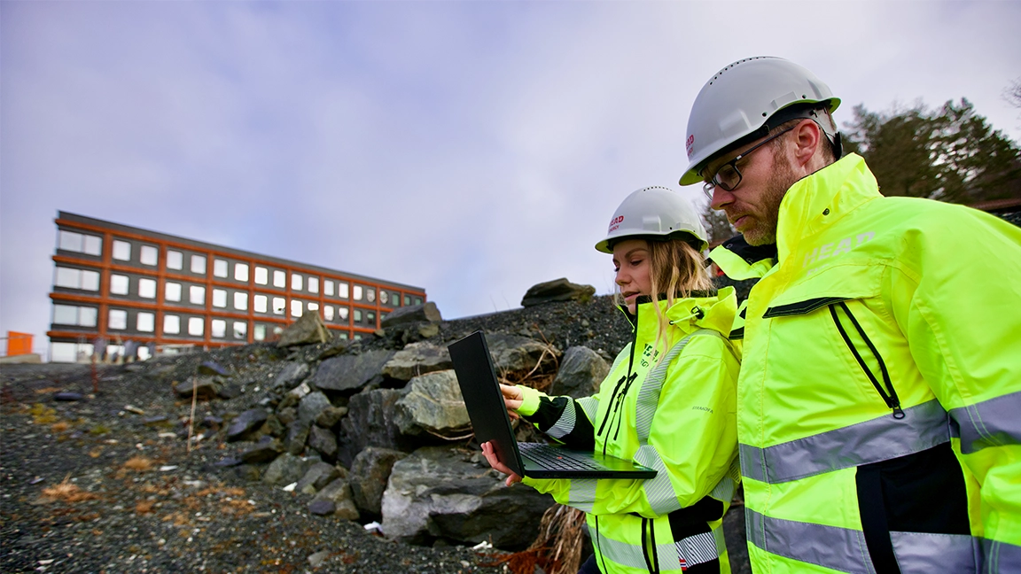
The municipality requires a geotechnical assessment – what you need to know before your building application can proceed

Have you been told that the municipality requires a geotechnical assessment before your building application can be processed further? It may sound dramatic, but it does not necessarily mean there are problems with the site or that you cannot build.
The municipality needs documentation that the ground conditions have been sufficiently assessed, and that the project can be carried out safely. In some cases, existing information may be enough. In other cases, a geotechnical investigation or new ground investigations must be carried out.
Here we explain why the municipality may require a geotechnical assessment, what such an assessment involves, when ground investigations are needed and what you should do to move your building application forward.
Why does the municipality require a geotechnical assessment?
The municipality is responsible for ensuring that new projects meet the requirements of the Planning and Building Act and the building regulations (TEK17). Before a construction project can be approved, it must be documented that the site is suitable for the project and that safety is ensured.
A requirement for a geotechnical assessment is usually because the property is located within a caution area for quick clay landslides.
A caution area for quick clay landslides is an area that the Norwegian Water Resources and Energy Directorate (NVE) has identified as potentially exposed to quick clay landslides. The maps are based on automatic terrain analyses and do not fully take into account local variations in the marine limit or uncertainty in it.
It is important to be aware that a caution area does not mean that quick clay has been identified on the property, or that the area is unsuitable for development. The maps show areas where closer geotechnical assessments may be needed before a project can be approved.
Caution areas for quick clay must not be confused with caution areas for landslides in steep terrain. While the assessment of quick clay and area slides is a geotechnical issue, landslides in steep terrain cover natural hazards such as rockfall, rock slides, snow avalanches, slush flows and debris slides.
If the municipality has asked for an assessment of landslide hazard in steep terrain, you can read more in our article «The municipality requires a landslide hazard assessment – what does it mean for your building application?»
If a planned project is located within such an area, the municipality will often ask for geotechnical documentation to clarify whether the project can be carried out without deviating from the safety requirements in TEK17.
The requirement is therefore part of the processing of the building application, not necessarily a sign that there are problems with the site.
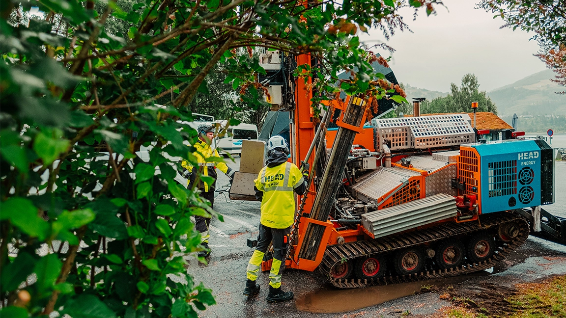
What is a geotechnical assessment?
A geotechnical assessment is a professional assessment of how the ground conditions affect the project.
The assessment can be based on:
- available maps and geological data
- previous ground investigations in the area
- a site inspection
- new ground investigations if necessary
- calculations and analyses
The aim is to document whether the project meets the safety requirements, and which assumptions must be used as a basis for further design.
What is the difference between a geotechnical assessment, a geotechnical investigation and a geotechnical report?
The terms are often used in connection with the same building application, but do not necessarily describe the same thing.
A geotechnical assessment is the professional assessment of how the ground conditions affect the planned project. If existing knowledge of the ground is not sufficient, it may be necessary to carry out geotechnical ground investigations, for example drilling, sounding or sampling.
The results of the assessments and any investigations are documented in the documentation or report that the project and the municipality need.
What is actually required therefore depends on the project, the ground conditions and the municipality's requirements.
Is a geotechnical assessment the same as geotechnical design?
No. A geotechnical assessment prepared in connection with a building application aims to document whether the ground conditions have been sufficiently assessed and whether the project meets the relevant safety requirements.
For some projects, this is sufficient. For more extensive projects, the geotechnical assessment may show that geotechnical design is also needed. The geotechnical consultant then develops solutions for foundations, excavation pits, slope stability or other geotechnical structures that are part of the project, among other things.
The scope of the geotechnical assistance therefore depends on both the size and the complexity of the project.
Do ground investigations always have to be carried out?
Not necessarily.
In some cases, there is already sufficient information about the ground conditions. If existing data provides a good basis, it may be possible to carry out the geotechnical assessment without new field investigations.
In other cases, it is necessary to carry out ground investigations, for example drilling, sounding or sampling. The need is assessed by the geotechnical engineer based on the scope of the project, the ground conditions and the municipality's requirements.
This means that a requirement for a geotechnical assessment does not automatically mean that you have to order extensive ground investigations. The first step is to clarify what documentation already exists and what is actually needed in the specific building application.
How much does a geotechnical assessment or investigation cost?
There is no fixed price for a geotechnical assessment, because the scope is determined by which issues need to be clarified in the building application.
In some cases, the assessment can be based on existing data. Other projects require field investigations, laboratory analyses and geotechnical calculations. The cost will therefore depend on both the documentation requirement and the scope of the necessary investigations.
A geotechnical consultant can review the project and the municipality's requirements, assess what assistance is needed on that basis and give a more realistic price estimate.
[Facts]
What should you do when the municipality asks for geotechnical documentation?
If you have received a requirement from the municipality, the most important thing is to find out what the municipality is actually asking for before you order investigations or other documentation.
1. Read the municipality's letter carefully
The municipality usually describes what it wants documented. It may be a requirement for a geotechnical assessment, a report or an assessment of local or area stability.
2. Gather relevant information
The following documents are often useful:
- the municipality's response
- site plan
- drawings
- description of the project
- any zoning provisions
The more information the geotechnical engineer has, the easier it is to assess what is actually required.
3. Contact a geotechnical consultant
A geotechnical engineer can review the documentation and clarify:
- what the municipality is asking for
- whether existing information is sufficient
- whether ground investigations are needed
- what documentation must be prepared
This can often be clarified early in the process and contribute to more efficient processing of the building application.
How long does a geotechnical assessment take?
There is no single answer, because the scope varies from project to project.
The time depends on, among other things:
- the size of the project
- available documentation
- the need for fieldwork
- the ground conditions
- the municipality's requirements
If ground investigations are needed, the timing of fieldwork and any laboratory analysis must also be included in the planning.
The earlier the need for geotechnical assistance is clarified, the better the basis the project has for planning further progress.
Geotechnical expertise can clarify what the building application actually requires
A requirement for a geotechnical assessment does not have to mean that the construction project becomes complicated. The most important thing is to clarify what the municipality is actually asking for, what is already known about the ground conditions and whether further investigations are needed.
Head Energy Geo provides geotechnical advice and ground investigations for both public and private clients throughout Norway. Our geotechnical engineers can assess local and area stability, carry out the necessary ground investigations and provide geotechnical advice from the zoning and early phase to detailed design, among other things.
If the geotechnical assessment shows that the project requires further design, Head Energy Geo can also help, from ground investigations to complete geotechnical design.
Has the municipality asked for a geotechnical assessment?
Are you unsure what the municipality actually requires, or what geotechnical documentation the project needs? Contact Head Energy Geo for a professional assessment of the case. We can help clarify what is needed to move your building application forward.
Frequently asked questions about geotechnical assessments
What is a geotechnical assessment?
A geotechnical assessment is a professional assessment of the ground conditions and how they affect a planned construction project. The purpose is to document whether the project meets the relevant safety requirements and which assumptions must be used as a basis going forward.
When does the municipality require a geotechnical assessment?
The municipality may require geotechnical documentation when the ground conditions must be clarified before a project can be approved. A common example is that the property is located within a caution area for quick clay landslides.
Does a requirement for a geotechnical assessment mean there is quick clay on the site?
No. A property being within a caution area does not mean that quick clay has been identified on the site. It means that the ground conditions may need to be assessed more closely before the project can be approved.
Does a geotechnical ground investigation always have to be carried out?
No. In some cases, there is already sufficient information about the ground conditions. In other cases, new ground investigations are needed, for example drilling, sounding or sampling.
What does a geotechnical assessment cost?
The price depends on what needs to be documented. If the assessment can be based on existing data, the scope will be different from a project that requires field investigations, laboratory analyses and geotechnical calculations.
How long does a geotechnical assessment take?
The time required varies with the size of the project, the ground conditions, the available documentation and whether fieldwork or laboratory analyses are needed. It can therefore be an advantage to clarify the need early in the building application process.

Contact us.
Do you have questions or want to know more about our services? We would love to hear from you!


Newsletter
Get the latest news from Head Energy straight to your inbox.

More insight.
When do you need geotechnical design, and why should the geotechnical engineer be involved early?